Quick Answer
Seoul different cities feels so different because mountains, the Han River, and extremely fast modern growth all shaped it at once. That mix created a city with steep hills, multiple centers, old alley neighborhoods beside glass towers, and a transit-driven 24-hour rhythm.
What to Do First
- Plan by neighborhood, not by one downtown center.
- Check elevation before walking, especially near hills and old districts.
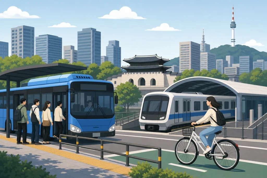
- Use subway stations as your main navigation anchor.
- Expect street character to change quickly from one block to the next.
- Treat the Han River as a real divider when planning cross-city trips.
- Leave extra time for river crossings and uphill walks.
- Use late-night transport and convenience stores as part of normal city life.
When This Guide Helps
This guide helps when Seoul different cities feels true the moment you step outside and the city seems busier, steeper, denser, and more mixed than you expected. If you have visited other major Asian cities and assumed Seoul would feel similar, the layout can be surprising at first.
It is also useful when you are choosing neighborhoods, trying to understand why your map distance does not match your walking time, or wondering why one district feels old and intimate while another feels planned and spacious.
Why Seoul Different Cities Feel So Distinct
Mountains Shape the Whole City
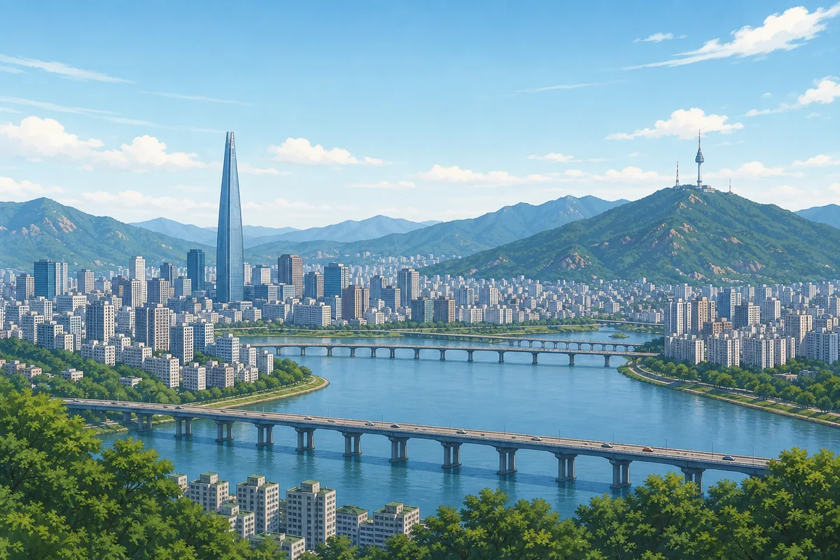
In many cities, mountains stay at the edge of town. In Seoul, they are part of the city itself. The landscape forces roads to bend, neighborhoods to cluster in valleys, and walking routes to rise and fall instead of running straight. That is a big reason Seoul different cities is such a common reaction from first-time visitors.
This also changes how you move around. A short route on the map can turn into a climb, and streets that look close together may be separated by slopes or ridges. The city was built around the terrain rather than on top of a flat grid.
The Han River Splits Seoul Into Two Different Halves
The Han River cuts across the city and creates a clear sense of north and south. North of the river, districts often feel older, hillier, and more tightly packed. South of the river, you find broader roads, newer development, and many large apartment and office districts.
Crossing the river is more than a map move. It changes the pace, the street width, and the overall atmosphere. If you are planning a day across both sides, allow time for the crossing and expect the feel of the city to shift.
Seoul Grew Fast, So Old and New Sit Side by Side
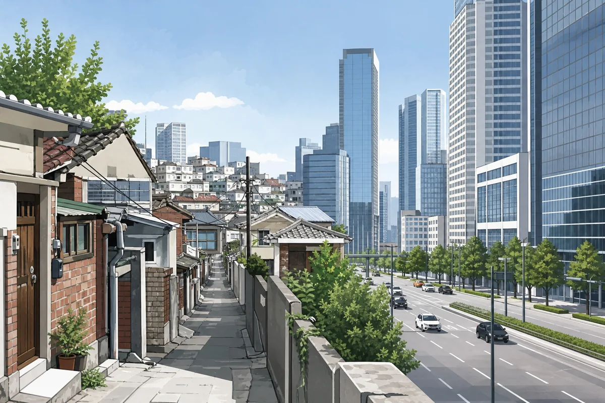
Seoul expanded extremely quickly in the modern era. That is why you can see a narrow alley lined with low-rise houses, then turn a corner and find a high-rise apartment complex or a new commercial tower. The city did not grow in one smooth layer. It grew in waves.
That is another reason Seoul different cities makes sense as a description. The city can feel traditional and futuristic at the same time, sometimes within the same neighborhood. What looks like a preserved old district may be right beside a newly rebuilt commercial area.
There Is No Single Center
Many visitors look for one downtown core, but Seoul works through several strong centers. Jongno and Gwanghwamun handle government and historic landmarks. Myeongdong is a major shopping and visitor area. Hongdae has nightlife and university energy. Gangnam is a major commercial hub south of the river.
This is why Seoul different cities often feels more accurate than Seoul is one city with one center. It is a city of districts, and each district has its own pace and identity. The best way to explore is to choose a neighborhood and move through it slowly.
Density Is High, But It Is Not the Same Everywhere
Seoul is very dense, but the density changes from place to place. Some streets are tightly layered with shops, signs, stairs, and foot traffic. Other areas, especially planned apartment districts, feel wider and more orderly.
That contrast can be confusing if you expect one consistent urban pattern. In Seoul, one block can feel old and compressed while the next feels open and newly planned. Both are normal parts of the city.
The 24-Hour Rhythm Comes From the City Structure
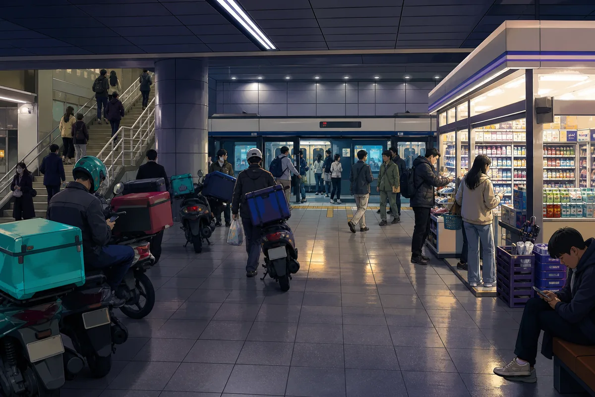
Seoul feels active late into the night because the city is built to keep moving. Subway service, convenience stores, late dining, delivery, and mixed-use buildings all support a rhythm that runs far beyond daytime hours.
This is not only about nightlife. It is a practical part of daily life in the city. People can eat late, travel late, and use services late because the infrastructure supports it. For visitors, that means evenings are often just as useful as daytime.
How this topic Affects Navigation
Seoul’s layout changes how you plan even simple trips.
- Short distances can take longer. A walk that looks easy on a map may include stairs, slopes, or a detour around a hill.
- Subway exits matter. The same station can have exits facing very different directions, so the exit number is important.
- River crossings add time. If your plans cross the Han River, do not treat it like a quick neighborhood hop.
- Neighborhoods change quickly. A quiet lane, a busy main road, and a modern tower district can sit very close together.
- Planning by district works best. It is easier to explore Seoul by area than by trying to cover the whole city in one sweep.
Korean Phrases You Can Show
Useful Korean Signs or Words
Where to Get Help
If you feel lost, subway stations are the best first place to orient yourself. Station maps and exit signs make it easier to understand where you are and which side of the neighborhood you should leave from.
Tourist information centers in major areas such as Myeongdong and Insadong can help with neighborhood directions and transit questions. Staff at these centers are used to foreign visitors and can usually point you in the right direction quickly.
The official Seoul tourism site also provides neighborhood and transit information that is useful before you head out for the day.
Common Mistakes
- Searching for one center instead of exploring by neighborhood.
- Underestimating hills and stairs.
- Assuming all districts look or feel the same.
- Forgetting that the Han River changes travel time and city mood.
- Trying to pack too much into one side of the city before crossing over.
- Ignoring subway exit numbers.
The Short Version
this topic feels true because the city was shaped by mountains, the Han River, and very fast growth all at once. That created a place with hills, several strong centers, dense old neighborhoods, newer planned districts, and a late-running transit-based lifestyle. Once you stop expecting one neat downtown grid, Seoul becomes much easier to read and enjoy.
Practical note: this topic is best understood by district, not by a single citywide pattern. If a map route looks short, still check hills, river crossings, and the nearest subway exit.
Note: This guide is for travel navigation in Korea. It is not medical, legal, or emergency professional advice. For urgent situations, contact local emergency services, official staff, or your embassy/consulate as appropriate.
For official information, check AREX official airport railroad information.