Naver Map in Korea: How to Use It for Transit, Walking, and Places
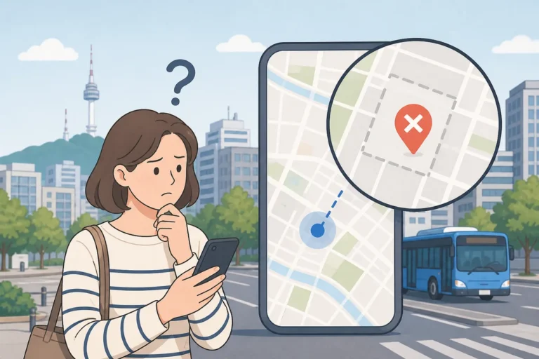
Naver Map is one of the most useful navigation apps in Korea for travelers and new residents. If you are wondering why routes can look different from Google Maps, this guide explains how to search for places, check subway and bus directions, walk to a destination, and share your location.
Quick Answer
Download Naver Map on iPhone or Android, allow location permission, and search by place name, address, or phone number. Then tap the directions button to choose transit, subway, bus, walking, or taxi. In Korea, Naver Map usually provides more complete local navigation data than Google Maps.
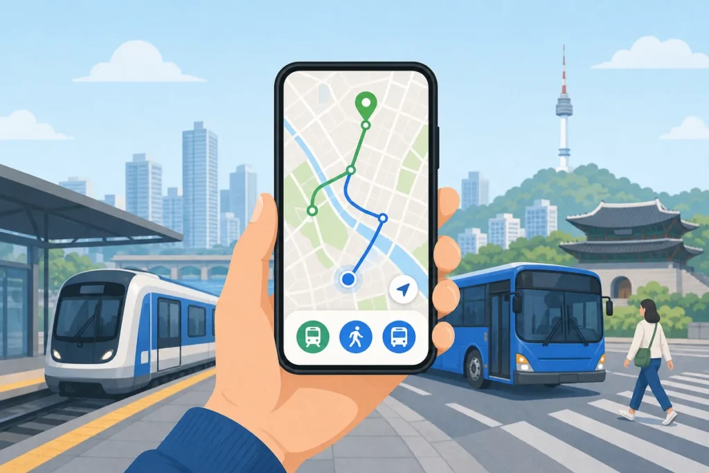
Table of Contents
- Why Naver Map Works Better in Korea
- Setting Up the App for English Users
- Searching for Places
- Using Transit Navigation: Subway and Bus
- Walking Navigation
- Saving Places and Sharing Your Location
- Common Situations
- What Foreigners Often Get Wrong
- Useful Korean Phrases
- Warnings and Things to Check
- FAQ
- Summary

Why Naver Map Works Better in Korea
In Korea, local navigation apps often work better than global ones because they are built around Korean address formats, transit data, and nearby business listings. Naver Map is especially helpful for subway, bus, and walking directions, and it often shows more accurate local place information than Google Maps.
KakaoMap is another strong option, but many foreigners prefer Naver Map because it combines navigation and place discovery in one app. Restaurant reviews, business hours, and exact building entrances are often easier to find here than in international map apps.
For official transit information, you can also check the Seoul Metro official site.
Setting Up the App for English Users
- Install: Download Naver Map from the official app store.
- Language: Open settings and choose English where available.
- Location: Allow location access while using the app.
- Search: Try the Korean place name, address, or phone number if English search is incomplete.
Download and First Launch
- Install Naver Map from the App Store or Google Play.
- Open the app and allow location permission so your current position can appear on the map.
- You can use basic navigation without a Naver account, but saving favorites usually requires login.
Switching to English
- Open the menu or profile area.
- Go to Settings and look for language options.
- Select English if available on your device.
- Some place names, small businesses, and neighborhood labels may still appear in Korean.
Allowing Location Access
If location permission was skipped during setup, open your phone settings and enable it for Naver Map. Without location access, you will need to enter a starting point manually every time.
Searching for Places
Searching by Name
Use the search bar at the top of the app and type the place name in English, Korean, or romanized Korean. English works well for major landmarks, while local cafés and restaurants may be easier to find by Korean name.
Searching by Address
Korean addresses often use the road-name format. You can paste the full address into Naver Map and it usually finds the correct location. If needed, add the district name to narrow the results.
Searching by Phone Number
Phone number search is very useful in Korea. If someone sends you a restaurant or shop number, paste it into Naver Map and it may pull up the exact listing.
Reading Results in Korean
Even in English mode, some results may still be in Korean. Focus on the pin, address, category icon, and distance rather than the text alone.
Using Transit Navigation: Subway and Bus
Starting a Route Search
- Search for your destination.
- Open the place card.
- Tap the directions button.
- Confirm your starting point and choose a route type.
Choosing a Transport Mode
- Transit — combines subway and bus
- Subway — subway-only routes
- Bus — bus-only routes
- Walking — foot directions
- Taxi — estimated taxi travel time and fare
Reading the Route Options
Naver Map usually shows several route options. Each one includes travel time, walking distance, transfers, and estimated fare. Check more than one option before you start, especially if you want fewer transfers or a shorter walk.
Real-Time Bus Arrival
Bus route details may include live arrival information. This is useful in cities with strong bus coverage, but timing can still change with traffic and local conditions.
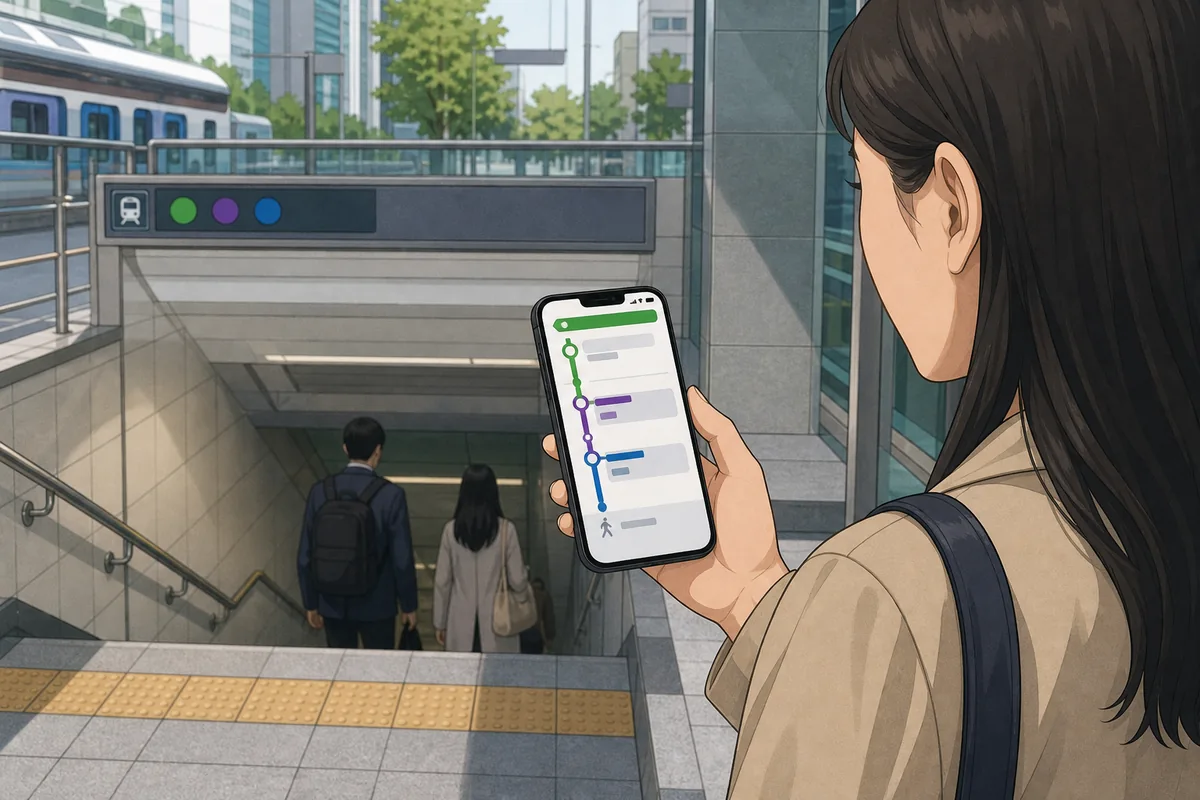
Subway Line Colors and Numbers
Subway lines are shown with colors and numbers, which makes them easier to follow in stations. Use the route screen and station signs together for the best result.

Walking Navigation
Starting Walk Mode
Select walking directions after entering your destination. Naver Map will draw the route on the map and guide you turn by turn.
Reading the Walking Screen
The screen usually shows your next turn, remaining distance, and estimated arrival time. If you go off route, it should recalculate automatically.
Indoor Maps
In some large stations, malls, and airports, Naver Map may show indoor maps or floor guidance. This can be especially helpful in complex transfer stations and large commercial buildings.
Saving Places and Sharing Your Location
Saving a Favorite Place
Use the bookmark or favorite icon to save places such as your hotel, apartment, school, or a restaurant you want to revisit. This is one of the simplest ways to make future navigation easier.
Sharing a Location Link
You can share a place link from the place card. This is a common way to send a meeting point through messaging apps.
Sharing Your Current Position
You can also share your current location from the map. This is useful when meeting someone nearby, especially in busy areas where landmarks are not clear.
Common Situations
Finding the Right Subway Exit
If you are leaving a station, check the final walking step in the route. It often includes the correct exit number. This can save time and help you avoid unnecessary walking.
Choosing Another Route
If a bus is delayed or the first route looks inconvenient, try another option. Naver Map usually offers several alternatives, and one may be easier even if it is not the fastest.
Finding a Nearby Convenience Store or ATM
Search for common store names like CU, GS25, or 7-Eleven. For ATMs, it is still important to confirm card compatibility with your bank before using one for cash withdrawal.
Using It When Signal Is Weak
Naver Map works best with a stable data connection. In underground or weak-signal areas, some parts of navigation may not update as smoothly.
What Foreigners Often Get Wrong
Relying Only on Google Maps
Google Maps can be useful for rough orientation, but in Korea it may miss transit details or local business information. For daily navigation, Naver Map is usually the better choice.
Skipping Location Permission
This is one of the most common setup problems. If the app cannot find your current position, route planning becomes much harder.
Expecting Full English Translation
Not everything will be translated. Some Korean text is normal, especially for small businesses, addresses, and neighborhood labels.
Ignoring Multiple Route Options
The first route is not always the most convenient. Compare travel time, transfers, and walking distance before deciding.
Not Checking Late-Night Travel
Late-night subway or bus travel may be limited, so check the timing carefully if you are returning after midnight.
Useful Korean Phrases
Navigation and Map Terms
Warnings and Things to Check
- Map data can change quickly, so always confirm important routes or opening hours with official sources when needed.
- Naver Map is not an emergency service. For emergencies in Korea, call 119 for fire and ambulance or 112 for police.
- Fare estimates are only estimates, especially for taxi and transit combinations.
- Some place information may still be in Korean, even when the app language is set to English.
FAQ
Can a visitor use Naver Map in English?
Yes, many interface parts can be used in English, but some place names and local listings may still appear in Korean.
Is Naver Map better than Google Maps in Korea?
For local transit, walking, and business search in Korea, Naver Map is usually more detailed and more accurate.
Can a visitor search by phone number?
Yes, phone number search often works very well for restaurants, cafés, and other local businesses.
Does a visitor need an account to use Naver Map?
No, basic navigation does not require an account. An account is usually needed for saving favorites.
Summary
Naver Map is a practical everyday navigation tool for Korea. Use it for place search, subway and bus routes, walking directions, and sharing exact locations. If you allow location access and learn a few key Korean labels, the app becomes much easier to use.