Quick Answer
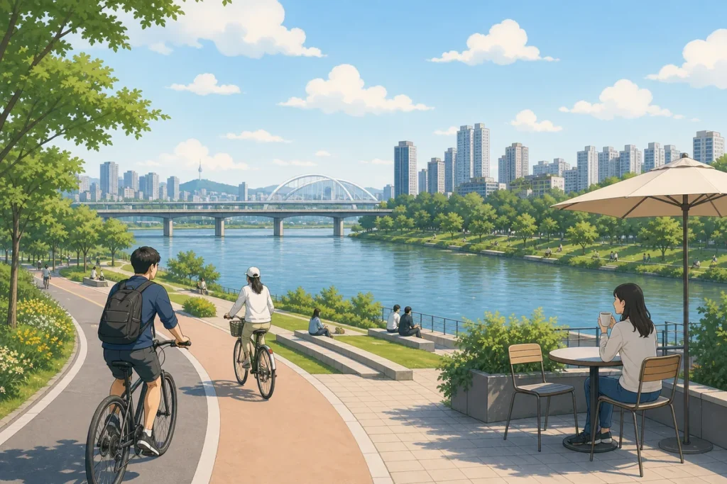
Korean rivers are designed as korean rivers for public life, not just drainage channels, so you’ll see parks, bike paths, exercise zones, and cafes built along the banks. In many cities, riverfronts are also part of urban redevelopment, which is why the same pattern appears on the Han River and on smaller neighborhood streams.
What to Do First
- Look for 공원 (park) or 산책로 (walking trail) signs near bridges and subway exits.
- Follow the paved ramp or stairs down to the riverbank.
- Use the walking path, and stay out of the bike lane.
- Check for bike rental signs near major entrances.
- Look for cafes just above the river level, often near bridge crossings.
- Use benches, lawns, and outdoor exercise equipment as public facilities.
- Expect the Han River to feel larger; local streams feel more neighborhood-based.

When This Guide Helps
If you keep noticing that korean rivers have parks, running paths, outdoor gym equipment, and cafes, this guide explains the pattern in simple terms. It helps when you want to read the landscape quickly, find a good place to walk, or decide whether a riverfront area is worth adding to your day.
It also helps if you are trying to tell the difference between a major Seoul riverfront and a smaller local stream that cuts through residential neighborhoods.
What Makes korean rivers Look Like Public Parks
The short answer is planning. Many Korean cities treated riverbanks as useful public space instead of leaving them as empty edges. That meant building continuous paths, lawns, seating areas, and exercise spots along the water. Once those routes were in place, they naturally became part of daily life for walking, jogging, cycling, and meeting friends.
The Han River is the best-known example, but the same idea spread to smaller city streams and waterfront corridors. In many places, rivers became the easiest long green space to create without starting from scratch.
Walking culture also matters. People use these riverfronts every day, so the spaces are designed to be practical, not ornamental. That is why you will often see older residents exercising in the morning, office workers walking after dinner, and families using the same path on weekends.
Han River vs. Local Streams
The Han River in Seoul is the biggest and most developed version of this idea. It has broad lawns, long bike routes, convenience stops, and large park sections across different districts. You can spend a whole afternoon there without repeating the same stretch.
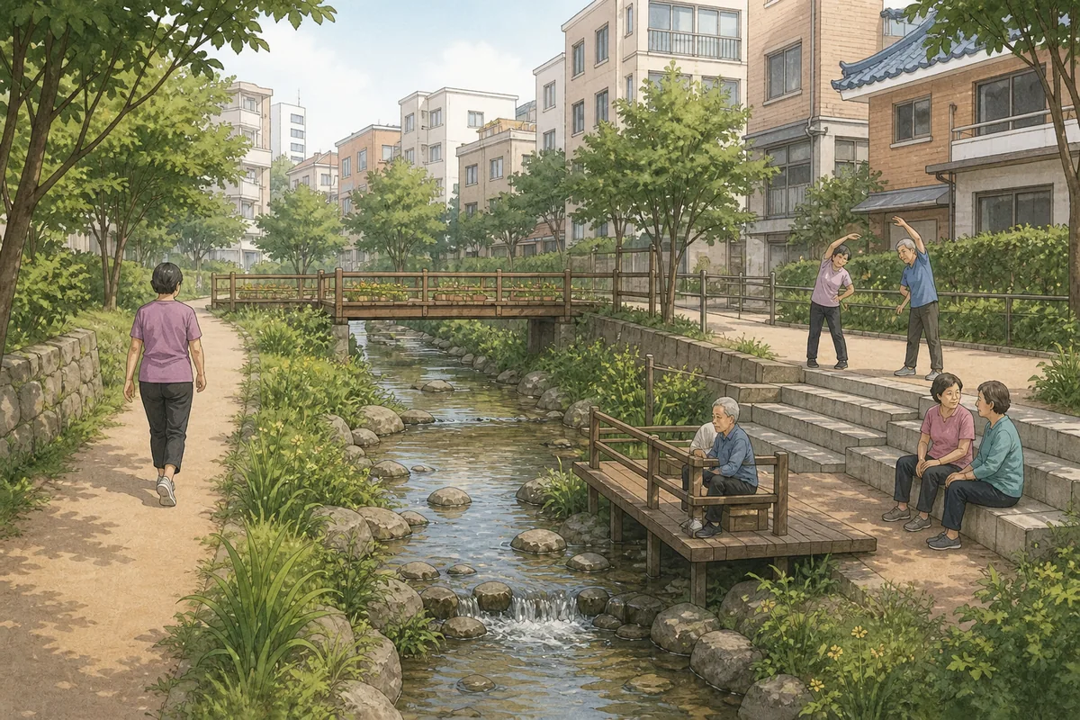
Local streams, often called cheon (천), are smaller and feel more neighborhood-oriented. They usually have walking paths on both sides, low bridges, and a calmer atmosphere. You are more likely to see local residents than tourists.
Both are useful. The Han River gives you a city landmark experience, while neighborhood streams show you how riverfront space fits into everyday Korean life.
Why Cafes Appear Right by the Water
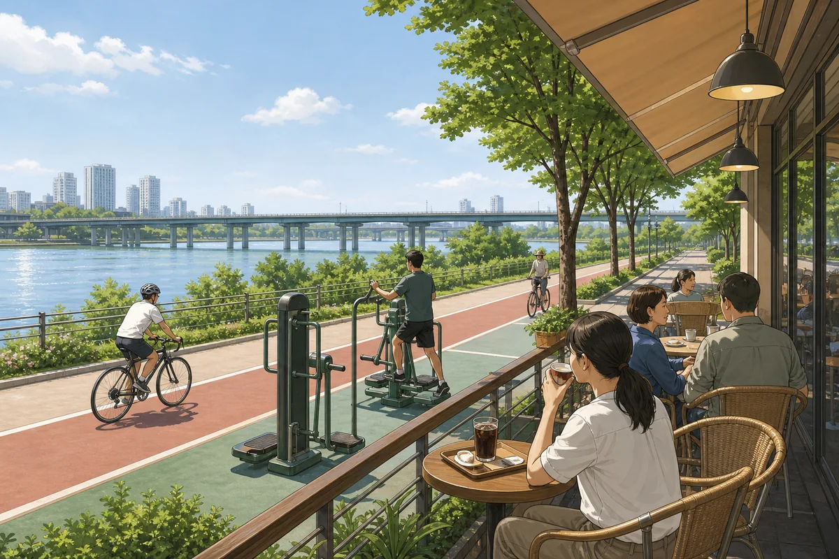
Cafes cluster near river paths because that is where people already walk. Bridge crossings, subway exits, and stairways down to the bank create natural foot traffic, and businesses follow that movement. Many cafes sit one street above the river so they can offer a view while staying close to the busiest access points.
That is why river view cafes are common in Korea. The setting works for both locals and travelers: people get a pleasant break spot, and the cafe gets steady customers from the park and path below.
What You’ll Notice on the Ground
When you reach a riverside area, the layout is usually straightforward. A main entrance leads down to a paved path, with signs showing the walking trail, bike lane, restrooms, and nearby facilities. The path is often flat, wide, and well-lit, which makes it easy to use for a casual walk or a longer ride.
In some areas, the design looks polished and modern because the riverbank has gone through urban redevelopment. New lighting, stone steps, planted edges, and public art are all common signs that a stream or waterfront was recently upgraded.
Useful Korean Signs or Words
Where to Get Help
On larger river parks, look for 관리사무소 (management office) near the main entrance. Staff there can point you to restrooms, bike rentals, and the easiest path to follow.
On smaller streams, help is usually less formal. A convenience store near a bridge, a cafe on the riverside road, or a park signboard is often enough to orient yourself.
Tip: The walking path and bike lane are often separate. If you are on foot, stay on the pedestrian side and watch for cyclists coming through faster than expected.
Common Mistakes
- Thinking every riverfront is only for Seoul tourists. Smaller cities use the same river-park idea.
- Missing the entrance. The path is often below street level, so look for stairs, ramps, and entrance signs.
- Assuming it costs money. Most river parks and stream paths are free to use.
- Overlooking local streams. Some of the best everyday walks are on neighborhood waterways rather than the famous Han River.
The Short Version
korean rivers look like parks because cities deliberately turned riverbanks into public leisure corridors. That is why you see walking trails, bike paths, outdoor exercise equipment, lawns, and cafes in so many places. The Han River is the biggest example, but local streams across Korea follow the same logic.
For official information, check Visit Korea official travel information.
FAQ
Why do Korean rivers have parks and bike paths?
Because riverbanks were planned as public recreation space. Cities built continuous paths and green areas so people could walk, jog, cycle, and spend time by the water.
Are visitors allowed to walk along this topic?
Yes. River parks and stream paths are generally open to the public and easy to use for walking or cycling.
Is the Han River the only example?
No. Smaller local streams and neighborhood waterways across Korea use the same riverfront park design.
Why are there cafes near this topic?
Cafes follow the foot traffic. Bridge crossings, park entrances, and subway exits create busy access points, so cafes open nearby to serve walkers and cyclists.
What does cheon mean on a river sign?
천, usually read as cheon, refers to a stream or waterway. It is a common word in place names for smaller riverfront paths.
Note: This guide is for travel navigation in Korea. It is not medical, legal, or emergency professional advice. For urgent situations, contact local emergency services, official staff, or your embassy/consulate as appropriate.