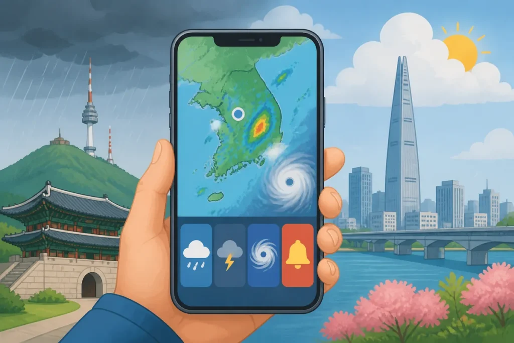
If you’re heading out in Korea, checking the weather before you leave can save you from sudden rain, strong wind, or a cancelled outdoor plan. The best Korea weather apps and official sources give you short-term forecasts, live rain radar, typhoon tracks, and emergency alerts — some in English, some in easy visual formats that work even without Korean reading skills.
Quick Answer
The Korea Meteorological Administration (KMA) is the official source for forecasts, typhoon tracks, and disaster alerts. For everyday hourly planning, apps like KMA Weather-i or Windy give visual, beginner-friendly information. Check the official KMA source first for any serious weather event, then use a user-friendly app for hourly details. Do not rely on Naver Map weather alone — it shows basic conditions but is not a full forecast or alert system.
What to Do First
- Open the KMA official source or KMA Weather-i app before any outdoor trip
- Check the hourly forecast, not just the daily summary
- Look at rain radar if clouds are building — rain in Korea can arrive fast
- Search for typhoon information on the KMA site if a storm is in the news
- Check air quality (미세먼지) separately using an air quality app or the KMA page
- Set up emergency alert notifications on your phone so official warnings reach you automatically
- Treat Naver Map weather as a quick glance only, not your main planning source

When This Guide Helps
This guide is for visitors who can handle basic travel in Korea but are not sure which weather source to trust. It answers the most common confusion points: which app is best for rain radar, where to find typhoon tracks in English, why different apps show different forecasts, and what to do when an alert appears on your phone in Korean.
Korea’s weather changes quickly, especially in summer. A clear morning can turn into heavy rain by afternoon. In typhoon season (roughly July to September), official alerts matter more than any third-party app. In spring, yellow dust and fine dust from China can make air quality drop sharply with little warning. Knowing which source to open — and in what order — is the practical skill this guide builds.
The Decision Order: Which Source to Open First
Think of weather information in Korea as three layers. Start with the official layer, move to the planning layer, then check the air quality layer if you need it.
Korea weather apps: official alerts and typhoon tracks first
The Korea Meteorological Administration is the government body that issues all official forecasts, typhoon tracks, and weather warnings in Korea. Every other app — including Naver, Kakao, and international apps — pulls its base forecast data from KMA. Going to the source means you see alerts and warnings as soon as they are issued, without waiting for a third-party app to update.
The KMA website has an English version. The KMA Weather-i app (available on Android and iOS) is the official mobile app. English support in the app exists but the interface is primarily Korean, so it takes a few minutes to learn the layout. The typhoon track section and warning banners are the most important parts for travelers during storm season.
Korea weather apps for hourly planning
For day-to-day planning — deciding whether to carry an umbrella, when to visit a rooftop, or whether to take the coastal walk — a visually clear app is more practical than the KMA site. Windy is popular with travelers because its rain radar and wind maps are visual and need no Korean reading. Weather Underground and AccuWeather both cover Korea well and have strong English interfaces. Aqicn or IQAir work specifically for air quality.
None of these replace KMA for official alerts, but they are easier to read quickly when you just want to know if rain is coming in the next two hours.
Korea weather apps for air quality
Air quality in Korea is tracked separately from weather. Fine dust (미세먼지, misemeonji) and ultrafine dust (초미세먼지, chomisemeonji) are the main concerns. The KMA site shows air quality data, and dedicated apps like IQAir give real-time readings by district. On high-dust days, outdoor exercise and long walks in open areas are worth reconsidering — the KMA and local apps will show a color-coded level from Good to Hazardous.
Rain Radar in Korea: What to Look For
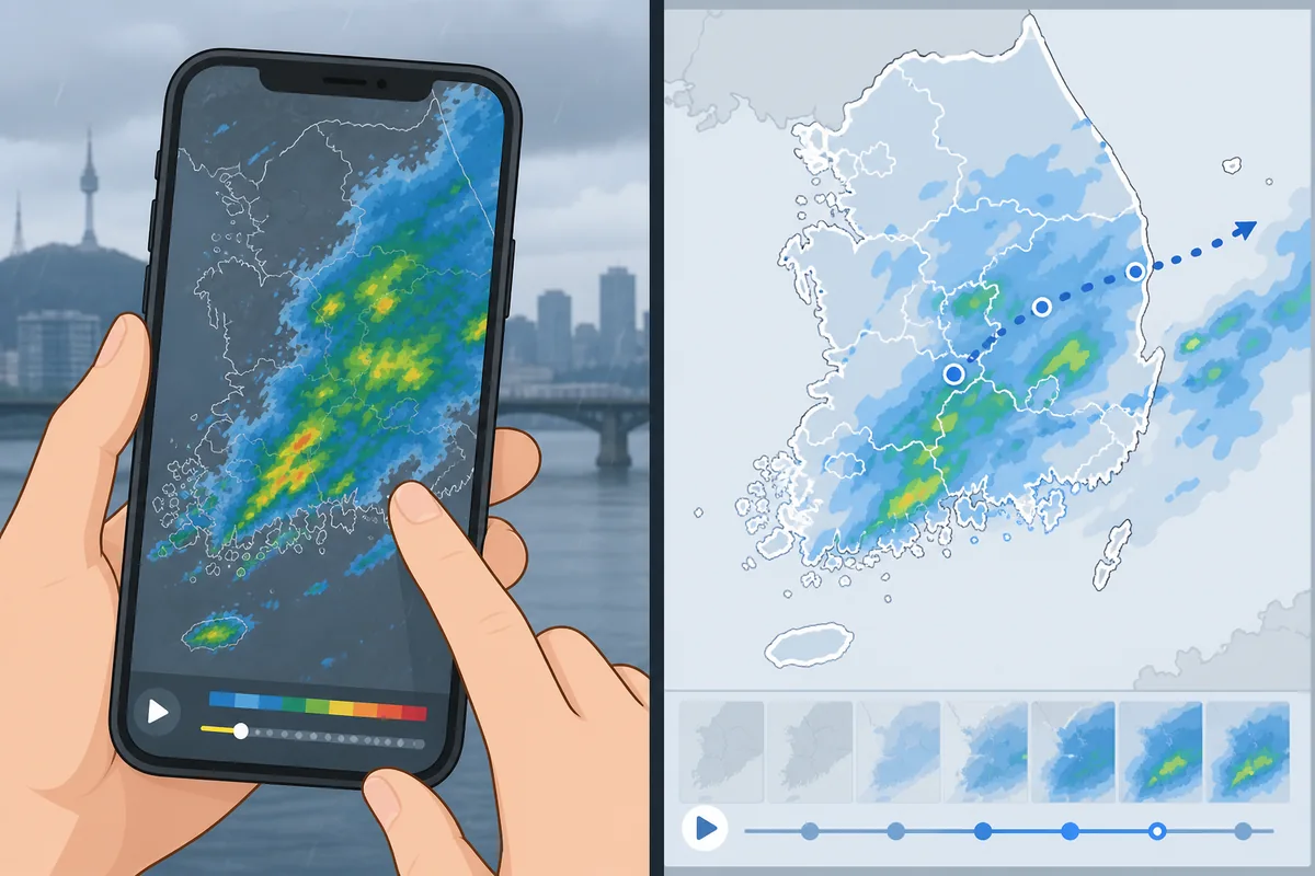
Korean rain radar updates frequently and is one of the most useful tools for visitors. Summer rain in particular can be intense and localized — one neighborhood gets soaked while another stays dry. The KMA Weather-i app has a radar screen that shows precipitation moving across the peninsula in near real time. Windy also shows rain radar in a very visual format that works without any Korean.
The key habit is checking radar about 30 to 60 minutes before you plan to go out, not just the daily forecast. A daily forecast that says “partly cloudy” can still mean a heavy shower at 3 PM.
Typhoon Information in Korea
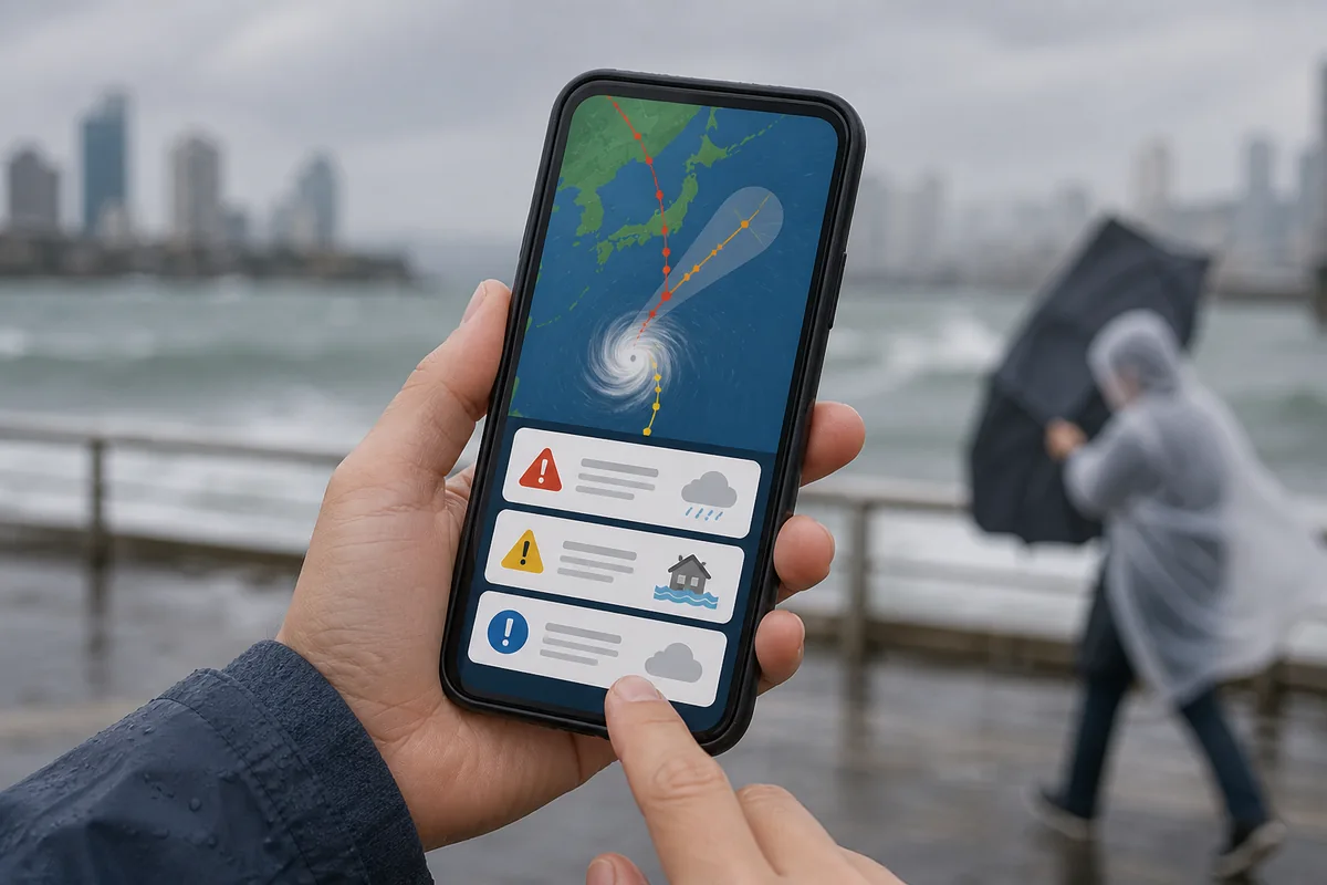
Typhoons affecting Korea are tracked and named by KMA. During typhoon season, the KMA site and app publish track forecasts, intensity levels, and landfall timing. The English version of the KMA site includes typhoon information, though the Korean version is updated faster.
When a typhoon is approaching, Korean authorities issue official warnings through the national emergency alert system. These arrive as loud text alerts on all phones registered to Korean networks — including foreign SIM cards and roaming phones. The alert will be in Korean, so knowing the key words in advance helps you understand what it means.
Useful Korean Signs or Words
These words appear in weather apps, alert messages, and forecast screens. Recognizing them helps you understand what you are looking at even in a Korean-language interface.
Korean Phrases You Can Show
If you need help understanding a weather alert or finding shelter, these phrases work at a hotel front desk, convenience store, or tourist information center.
Where to Get Help
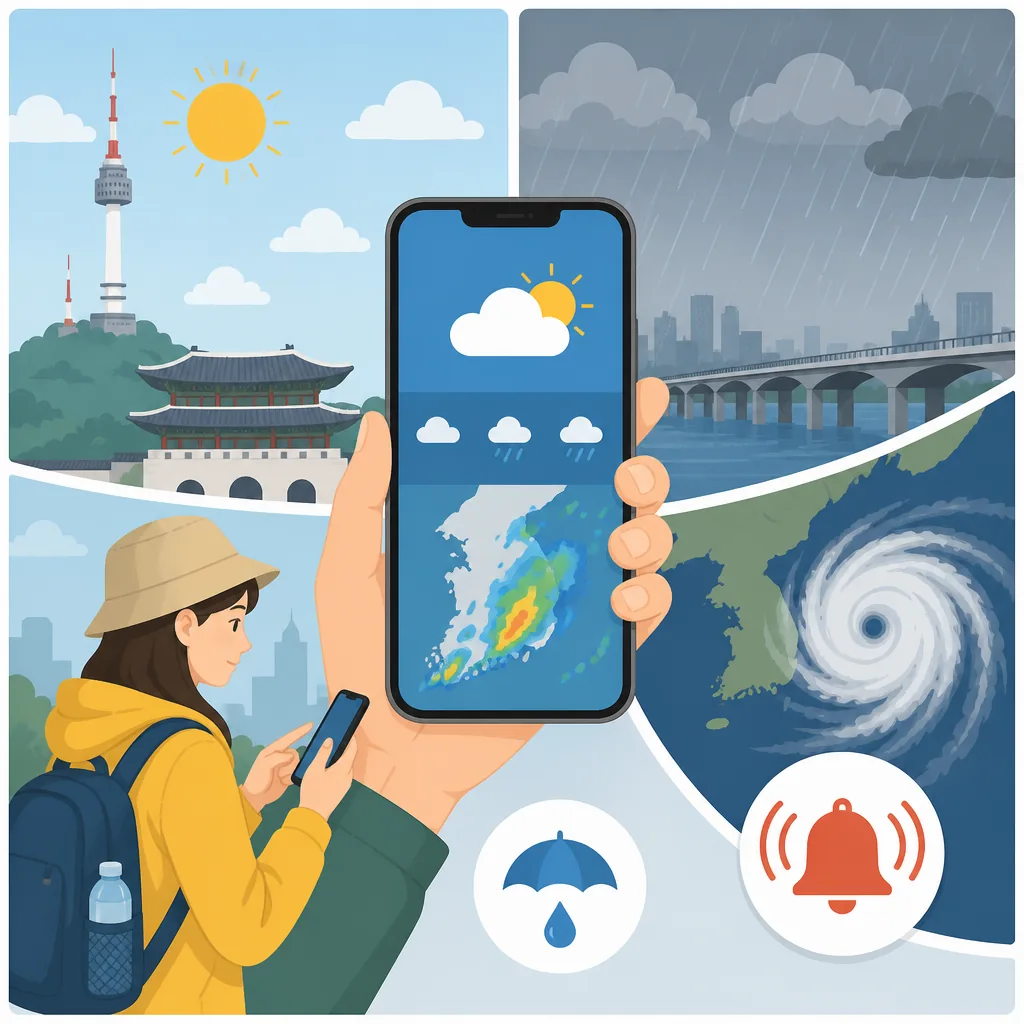
Your hotel front desk is the fastest first stop if you receive a weather alert you cannot read. Staff at most mid-range and above hotels in Seoul, Busan, and major tourist cities speak enough English to explain whether a warning affects your area or planned route.
Tourist information centers run by the Korea Tourism Organization (KTO) are located in major transport hubs including Incheon Airport, Seoul Station, and popular neighborhoods. Staff there can explain current weather conditions and whether outdoor attractions are operating normally.
If you are in a rural or mountain area during severe weather, look for the nearest staffed building — a convenience store, bus terminal, or visitor center — and wait for conditions to improve. Mountain trails in Korea are closed officially during typhoon warnings, and those closures are posted at trailheads in Korean and sometimes English.
Why Naver Map Weather Is Not Enough
Naver Map shows a basic weather summary for your current location — temperature, a sky condition icon, and sometimes a short-term outlook. For a quick glance before stepping outside, that is fine. The problem is that Naver Map is not a weather app. It does not show rain radar, typhoon tracks, alert levels, or air quality detail. Many visitors check it and assume they have done a full weather check, then get caught in heavy rain an hour later.
Use Naver Map for navigation. Use a dedicated weather source for weather.
Common Mistakes
- Checking only the daily forecast. Korea’s summer weather especially changes by the hour. Always look at the hourly breakdown before going out.
- Ignoring phone alerts. If your phone buzzes with a loud emergency alert, do not dismiss it without checking what it says. The Korean words above will help you identify the type.
- Assuming international apps are more accurate. Apps like AccuWeather and The Weather Channel pull Korean forecast data from KMA anyway. For Korea specifically, going to KMA directly or using KMA Weather-i gives you the same base data with official alert information added.
- Forgetting air quality. A sunny day with no rain can still be a bad day to be outside if fine dust levels are high. Check air quality separately, especially in spring.
- Not setting up notifications. If your phone is on silent or Do Not Disturb during a typhoon advisory, you may miss the official alert. Korea’s emergency alerts override most phone settings, but it is worth confirming your phone receives them.
- Relying on yesterday’s forecast. Korean short-term forecasts update multiple times per day. Always check on the day you are going out, not the night before.
Official Resource
The Korea Meteorological Administration (KMA) is the authoritative source for all official weather forecasts, typhoon tracks, and emergency weather alerts in Korea. The KMA website has an English-language version. The KMA Weather-i app is the official mobile application. For air quality, the KMA site also publishes dust level data alongside its forecast pages. Always verify current app availability and features directly in your device’s app store, as interfaces and language options are updated periodically.
Related Korea Guides
If you are planning outdoor activities, understanding Korea’s rainy season (장마, jangma) timing helps you set expectations before you book. For mountain hiking, trail closure rules during rain and typhoon warnings are worth reading before you travel. Visitors heading to coastal areas like Busan or Jeju should also check local marine weather advisories, which appear on the KMA site separately from inland forecasts.
FAQ
What is the best weather app for Korea tourists?
For official accuracy and alerts, KMA Weather-i is the strongest choice because it comes directly from Korea’s national meteorological authority. For a more visual and beginner-friendly experience, Windy works well for rain radar and wind maps without needing Korean reading skills. Many travelers use both: KMA Weather-i for alerts and official forecasts, Windy for visual hourly radar. App availability and features can change, so check your app store for the current version.
Does Naver Map show weather in Korea?
Yes, Naver Map shows a basic weather summary — current temperature, sky conditions, and a short outlook — for your location. It is convenient for a quick check while already using the map. It does not show rain radar, typhoon tracks, alert levels, or air quality data, so it should not be your only weather source before planning an outdoor trip.
How can I check rain radar in Korea before going out?
The KMA Weather-i app has a radar screen (look for the 레이더 tab) that shows precipitation moving across Korea in near real time. Windy is another strong option with a very visual radar interface that works without Korean. Check radar 30 to 60 minutes before you head out, especially in summer when rain can arrive quickly and be localized to specific neighborhoods.
Where can I see typhoon information in English in Korea?
The KMA website has an English version that includes typhoon track forecasts, intensity levels, and warning information. During active typhoon events, the English KMA pages are updated regularly. Major English-language news sources covering Korea — such as Korea Herald or Korea JoongAng Daily — also publish typhoon updates that are easier to read quickly. If you receive a phone alert in Korean, the word 태풍 (taepung) tells you it is typhoon-related.
Note: This guide is for travel navigation in Korea. It is not medical, legal, or emergency professional advice. For urgent situations, contact local emergency services, official staff, or your embassy/consulate as appropriate.